Mount Lukens Lookout Site
US 1785, CA 31
Mount Lukens Lookout - Region 5 Plan 4AR
Lookout Details
| Registry Numbers | US 1785, CA 31 (view other lookout sites in United States, California) |
| Date Registered | November 3, 2019 |
| Nominated by | Brad Eells |
| Location |
Angeles National Forest Los Angeles County, California |
| Coordinates |
N 34° 16.149' W 118° 14.340' (view using Google Maps) N 34° 16' 09" W 118° 14' 20" N 34.269148° W 118.238992° |
| Elevation | 5,081 ft (1,549 m) |
| Built | 1922/1933 |
| Removed | 1935 |
| Administered by | US Forest Service - Angeles National Forest |
Description
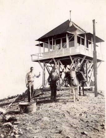
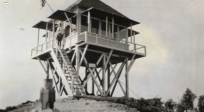
The original Mount Lukens structure was built in 1922 and burned in a wildfire in late 1933. The structure was replaced in some time after that with a California Region 5 Plan 4AR on a 10 foot open timber tower.
Reports suggest the lookout structure was dismantled and moved to Josephine Peak in 1935. San Rafael Lookout opened in 1934 and covered much of the same area. Photos of the Josephine Peak Lookout suggest a new structure was built there and the Mount Lukens structure was not used.
Map
Change Basemap
Photos
Circa 1920's
May 29, 1923
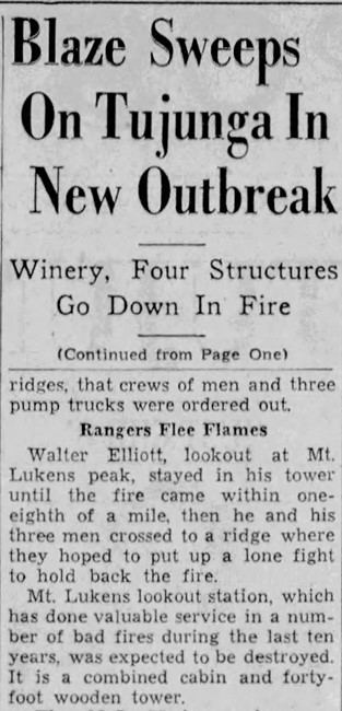
November 23, 1933