Washburn Mountain Tower Site
US 545, NY 3
Lookout Details
| Registry Numbers | US 545, NY 3 (view other lookout sites in United States, New York) |
| Date Registered | October 6, 2009 |
| Nominated by | Bill Starr |
| Location | Columbia County, New York |
| Coordinates |
N 42° 02.404' W 073° 30.972' (view using Google Maps) N 42° 02' 24" W 073° 30' 58" N 42.040067° W 073.516197° |
| Elevation | 1,497 ft (456 m) |
Description
In 1928 the Taconic State Park Commission erected an Aermotor LS-40 60' tower on Alander Mtn., just barely within the Commonwealth of Massachusetts, for the sole purpose of detecting fires on park land. In 1930 the area at Alander Mtn. burned, and the land owner asked for the tower to be removed. The tower was dismantled by Park staff and stored at the High Falls facility in the park. The Park re-erected the tower on Washburn Mtn., within the park boundaries, in 1933. Operation of the tower was turned over to Forest Fire Control about 1935 and was actively operated there until 1963. In November of 1963 the tower was dismantled by Forest Rangers and transported by helicopter to the Beebe Hill site and re-erected.
Map
Change Basemap
Photos
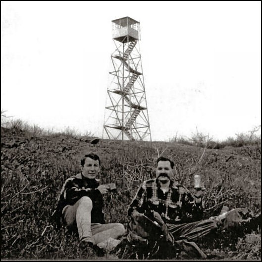
Washburn Mountain tower April 1962 - Larry Paul and Walt Raynor (L. Paul photo)
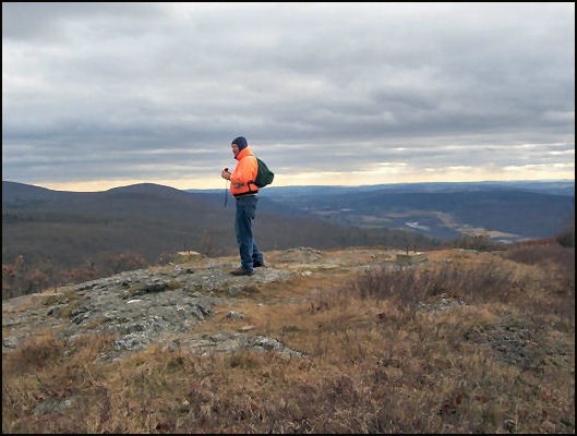
Washburn Mountain from Alander Mountain site 11-11-08 (Bob Eckler photo)