Broken Top (McArthur Rim) Lookout Site
US 702, OR 113
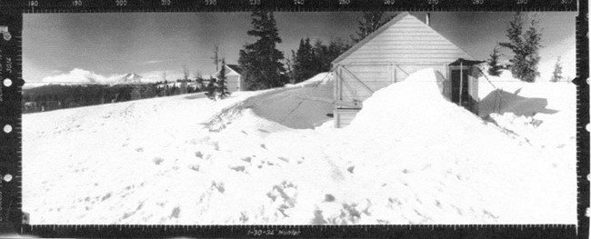
Broken Top Lookout panoramic
Lookout Details
| Registry Numbers | US 702, OR 113 (view other lookout sites in United States, Oregon) |
| Date Registered | November 7, 2010 |
| Nominated by | Irene Potter / Richard Spray |
| Location |
Deschutes National Forest Deschutes County, Oregon |
| Coordinates |
N 44° 05.320' W 121° 37.531' (view using Google Maps) N 44° 05' 19" W 121° 37' 32" N 44.088660° W 121.625520° |
| Elevation | 7,375 ft (2,248 m) |
| Administered by | U.S. Forest Service |
Description
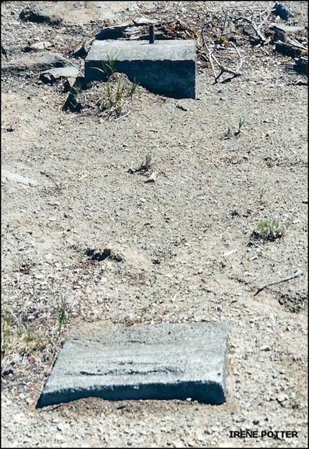
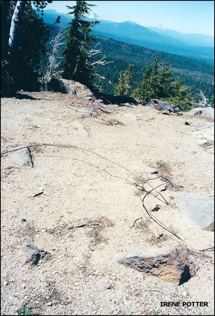
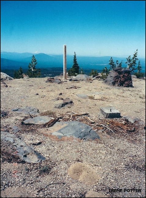
This gable-roof L-4 groundhouse with 14'x14' wood frame was built in 1931 one-half mile south of Three Creek Lake and was abandoned in 1952. It is now gone. Only concrete foundation blocks remain. There is also the remains of a structure in a neighboring whitebark pine that appears to be part of an old crows nest. The access road is very faint and hard to follow. The newer TWA Trail gives better access. An aluminum marker was placed on a 4'x4' treated post, which reads: "Gary T. Steller, Dundee, Oregon, Marker Placed, July 31, 1966."
Map
Change Basemap
Photos
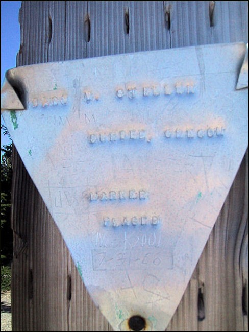
Aluminum marker reads: "Gary T. Steller, Dundee, Oregon, Marker Placed, July 31, 1966."
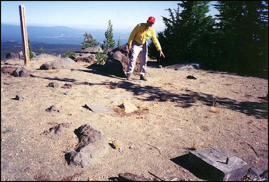
The flagstone landing that Richard Spray points to in the photo is all but invisible unless you are directly above it. The marker post is on the left. Two of the foundation blocks are in the foreground.
February 2, 2002
February 2, 2002
Broken Top Lookout site 2002