Brushy Bald Lookout Site
US 770, OR 179
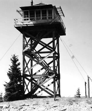
Brushy Bald Lookout 1962
Lookout Details
| Registry Numbers | US 770, OR 179 (view other lookout sites in United States, Oregon) |
| Date Registered | November 23, 2010 |
| Nominated by | Ray Kresek |
| Location |
Southwest Oregon Curry County, Oregon |
| Coordinates |
N 42° 32.654' W 124° 19.389' (view using Google Maps) N 42° 32' 39" W 124° 19' 23" N 42.544230° W 124.323150° |
| Elevation | 2,517 ft (767 m) |
| Administered by | Coos FPA |
Description
Built in 1937, this 30' tower with cabin was destroyed in the 1962 Columbus Day hurricane.
Map
Change Basemap
Photos
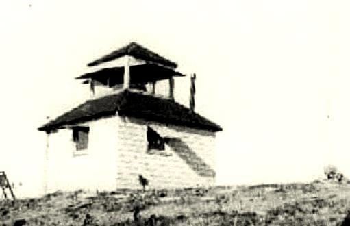
Brushy Bald Lookout 1936