Cedar Butte Lookout Site
US 677, OR 109
Cedar Butte Lookout
Lookout Details
| Registry Numbers | US 677, OR 109 (view other lookout sites in United States, Oregon) |
| Date Registered | September 23, 2010 |
| Nominated by | Ray Kresek |
| Location |
Oregon North Coast Region Tillamook County, Oregon |
| Coordinates |
N 45° 35.435' W 123° 38.823' (view using Google Maps) N 45° 35' 26" W 123° 38' 49" N 45.590580° W 123.647050° |
| Elevation | 3,100 ft (945 m) |
| Administered by | Northwest Oregon FPA/OFD |
Description
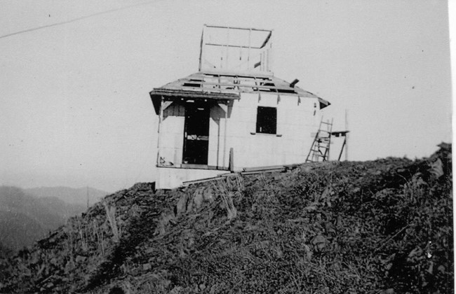
In 1917, a rag camp and pole platform were set up. In 1937 that was replaced with a 40' pole live-in tower, which was destroyed by a forest fire in 1938. In 1939 a 40' pole L-4 tower was constructed, which is now gone.
Map
Change Basemap
Photos
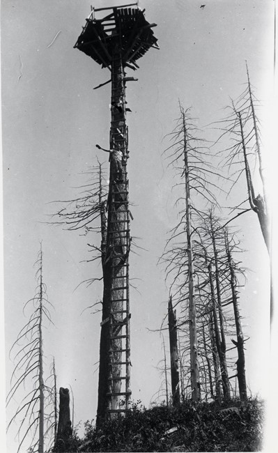
Cedar Butte Lookout 1917 - 1937
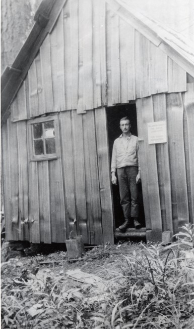
Cedar Butte Lookout ground cabin