Chicken Hill Lookout Site
US 1056, OR 414
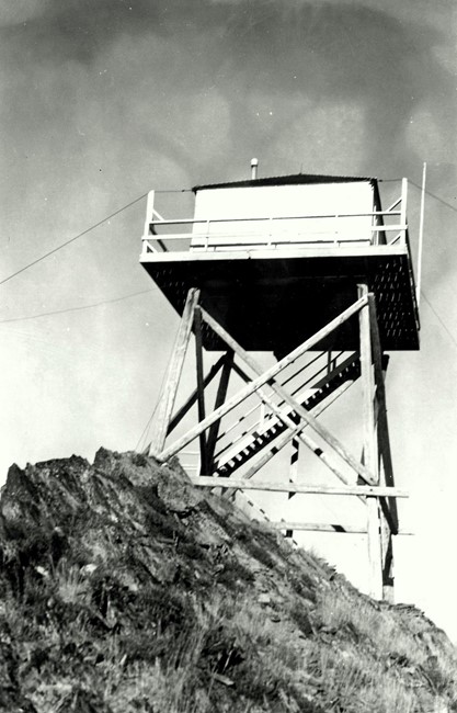
Chicken Hill Lookout 1942
Lookout Details
| Registry Numbers | US 1056, OR 414 (view other lookout sites in United States, Oregon) |
| Date Registered | June 13, 2011 |
| Nominated by | Ray Kresek |
| Location |
Wallowa-Whitman National Forest Union County, Oregon |
| Coordinates |
N 44° 59.290' W 118° 21.377' (view using Google Maps) N 44° 59' 17" W 118° 21' 23" N 44.988170° W 118.356280° |
| Elevation | 6,989 ft (2,130 m) |
| Administered by | U.S.Forest Service |
Description
A 20' pole L-4 tower, built in 1935, was replaced in 1942 with a 10' Supervisor Hall live-in tower, which was removed in 1968.
Map
Change Basemap
Photos
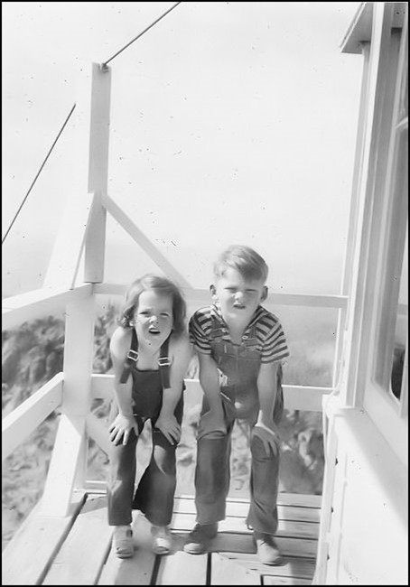
Chicken Hill Lookout