Fly Lake Lookout Site
US 594, OR 35
Lookout Details
| Registry Numbers | US 594, OR 35 (view other lookout sites in United States, Oregon) |
| Date Registered | August 24, 2010 |
| Nominated by | Ray Kresek |
| Location |
Mount Hood Region Jefferson County, Oregon |
| Coordinates |
N 44° 32.177' W 121° 26.002' (view using Google Maps) N 44° 32' 11" W 121° 26' 00" N 44.536280° W 121.433360° |
| Elevation | 3,020 ft (920 m) |
| Administered by | U.S. Forest Service |
Description
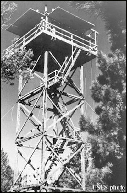
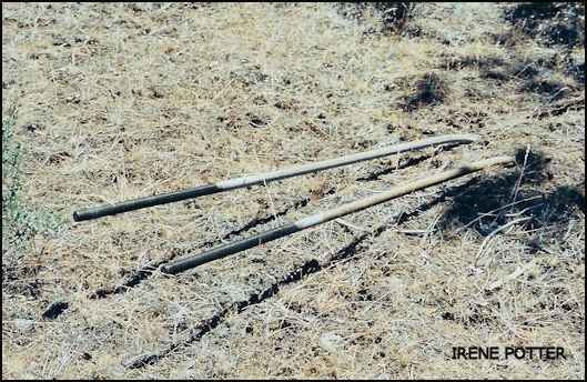
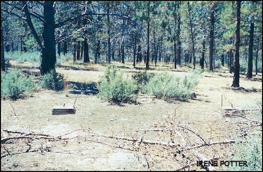
The first lookout on this site was a tree platform built in 1930. That was replaced by a 40' wooden L-4 tower in 1951, which was removed in 1965. The tree platform was still there in the 1980s, but eventually the Forest Service decided it was necessary to remove the old platform tree due its having become an "attractive nuisance."
Map
Change Basemap
Photos
