Mount Defiance Lookout Site
US 585, OR 26
Lookout Details
| Registry Numbers | US 585, OR 26 (view other lookout sites in United States, Oregon) |
| Date Registered | August 17, 2010 |
| Nominated by | Ray Kresek |
| Location |
Mount Hood Region Hood River County, Oregon |
| Coordinates |
N 45° 38.920' W 121° 43.358' (view using Google Maps) N 45° 38' 55" W 121° 43' 22" N 45.648660° W 121.722640° |
| Elevation | 4,960 ft (1,512 m) |
| Administered by | U.S. Forest Service |
Description
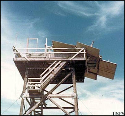
In 1925 the USFS constructed a tree crow's nest and tent. In 1934 this was replaced by a 40' pole L-4 tower. In 1952 a treated timber tower was constructed, which then was destroyed in a 1959 windstorm. In 1962 another 41' creosote treated sawn timber tower was built with flat cab, which was gone by 1971.
Map
Change Basemap
Photos
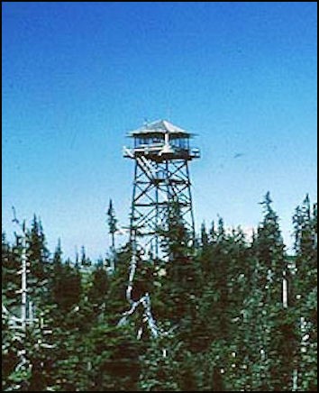
Tower in 1955 (Photos courtesy Fire Lookout Museum)