Riverbed Butte Lookout Site
US 1037, OR 395
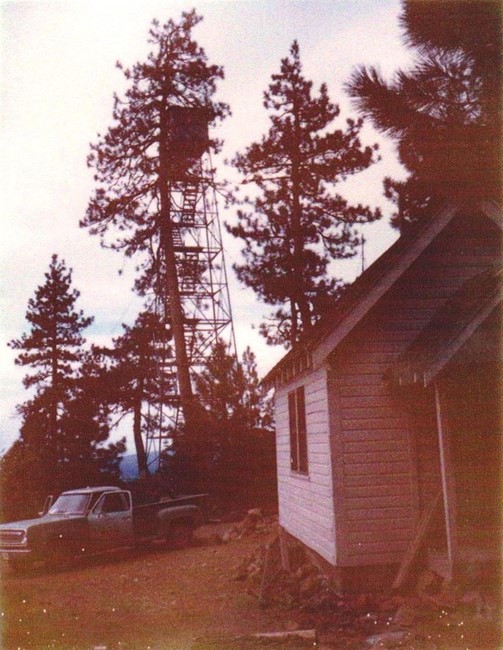
Riverbed Butte Lookout 1972
Lookout Details
| Registry Numbers | US 1037, OR 395 (view other lookout sites in United States, Oregon) |
| Date Registered | June 7, 2011 |
| Nominated by | Ray Kresek |
| Location |
Fremont National Forest Klamath County, Oregon |
| Coordinates |
N 42° 38.587' W 121° 07.564' (view using Google Maps) N 42° 38' 35" W 121° 07' 34" N 42.643110° W 121.126060° |
| Elevation | 6,000 ft (1,829 m) |
| Administered by | U.S.Forest Service |
Description
Built in the 1930s 1/2 mile southwest of the summit, this 61' steel tower and house were used for emergencies in the 1960s and are now gone.
Map
Change Basemap
Photos
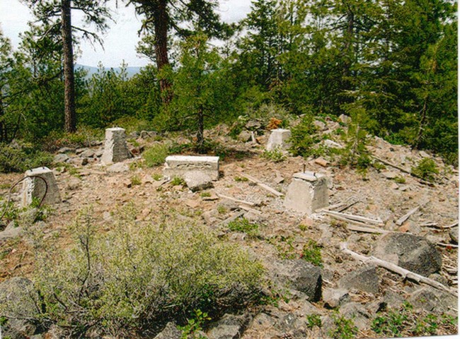
Riverbed Butte Lookout site 2007
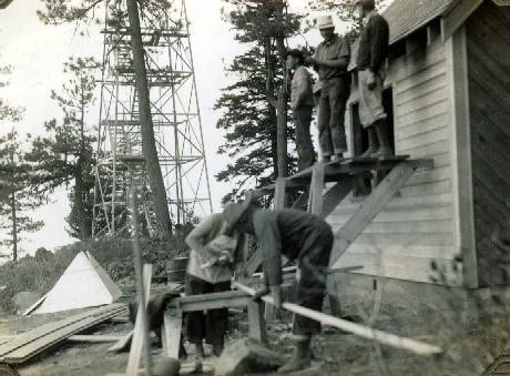
Riverbed Butte Lookout 1937