Round Mountain Lookout Site
US 625, WA 9
Lookout Details
| Registry Numbers | US 625, WA 9 (view other lookout sites in United States, Washington) |
| Date Registered | September 4, 2010 |
| Nominated by | Irene Potter |
| Location |
Wenatchee National Forest Yakima County, Washington |
| Coordinates |
N 46° 38.050' W 121° 19.850' (view using Google Maps) N 46° 38' 03" W 121° 19' 51" N 46.634167° W 121.330833° |
| Elevation | 5,971 ft (1,820 m) |
| Administered by | U.S. Forest Service |
Description
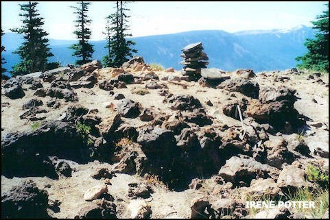
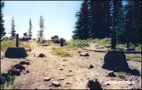
This 20' pole with L-4 cab was built in 1935 and removed in 1976. On the site there is definite evidence of two different structures whether or not they were there at the same time is not known. The tie-downs nearest the south edge of the site appear to have been for a ground cabin. Farther back are concrete footings as from a tower. One can see the William O. Douglas Wilderness to the north and Goat Rocks Wilderness to the south and west.
Map
Change Basemap
Photos
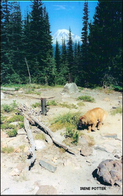
View of Mt. Rainier through the trees
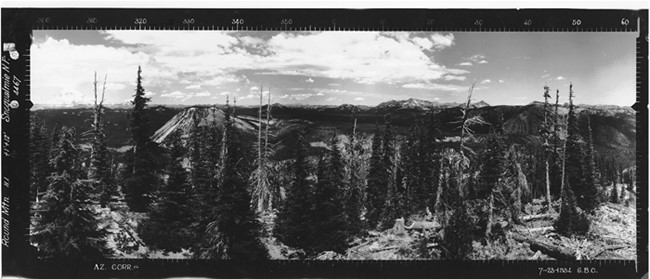
Round Mountain Lookout panoramic 7-22-1934 (N)
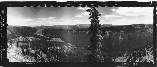
Round Mountain Lookout panoramic 7-22-1934 (SE)
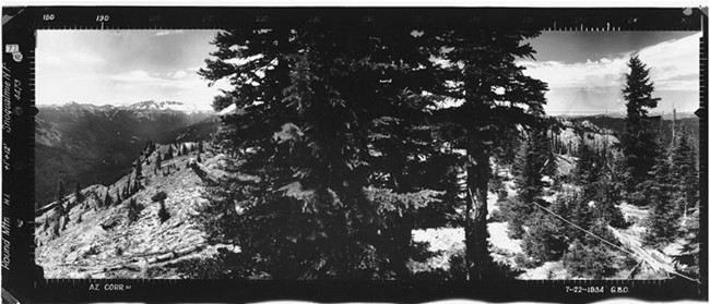
Round Mountain Lookout panoramic 7-22-1934 (SW)