Dolly Sods (Plains) Tower Site
US 1649, WV 40
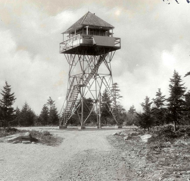
1935 photo
Lookout Details
| Registry Numbers | US 1649, WV 40 (view other lookout sites in United States, West Virginia) |
| Date Registered | January 26, 2017 |
| Nominated by | Brian M. Powell |
| Location |
Monongahela National Forest Grant County, West Virginia |
| Coordinates |
N 38° 57.850' W 079° 21.433' (view using Google Maps) N 38° 57' 51" W 079° 21' 26" N 38.964167° W 079.357222° |
| Elevation | 4,123 ft (1,257 m) |
| Built | 1931 |
| Removed | 1943 |
| Administered by | U.S. Forest Service |
Description
This 30-foot steel tower was built in 1931. It was relocated to Bell Knob in 1943.
Map
Change Basemap
Photos
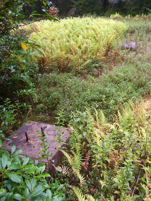
Footings in September 2008
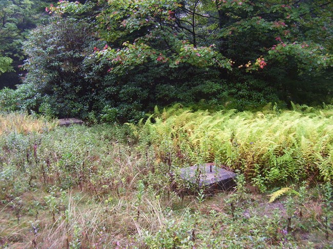
Footings in September 2008
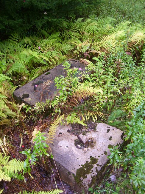
Footings in September 2008