Manning Knob Tower Site
US 1627, WV 25
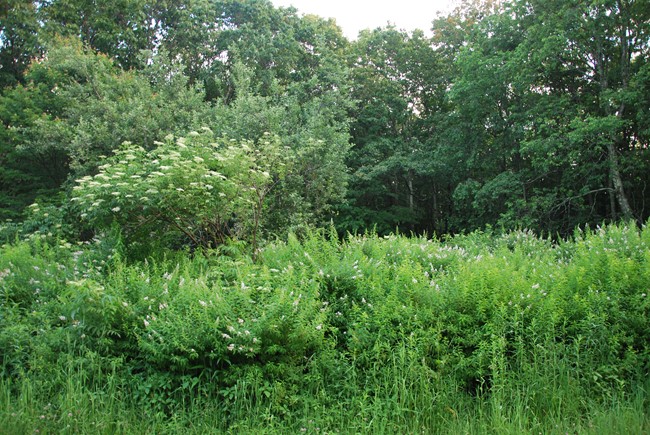
Tower site in June 2013
Lookout Details
| Registry Numbers | US 1627, WV 25 (view other lookout sites in United States, West Virginia) |
| Date Registered | November 27, 2016 |
| Nominated by | Brian M. Powell |
| Location |
Monongahela National Forest Greenbrier County, West Virginia |
| Coordinates |
N 38° 08.433' W 080° 29.933' (view using Google Maps) N 38° 08' 26" W 080° 29' 56" N 38.140556° W 080.498889° |
| Elevation | 3,968 ft (1,209 m) |
| Administered by | U.S. Forest Service |
Description
Located south of Richwood, the Manning Knob tower was located adjacent to the grave of Confederate spy Nancy Hart. The foundations of the tower are now lost in overgrown rhododendron.
Map
Change Basemap
Photos
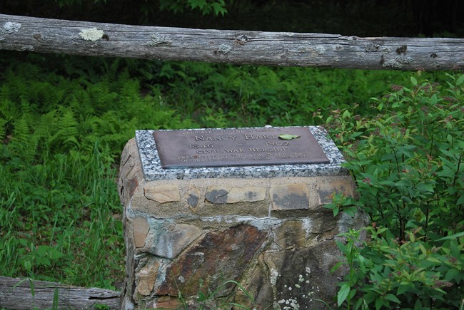
Nancy Hart Memorial