Bottle Peak Tower Site
US 520, CA 6
Lookout Details
| Registry Numbers | US 520, CA 6 (view other lookout sites in United States, California) |
| Date Registered | April 13, 2009 |
| Nominated by | Brad Eells |
| Location |
City of Escondido San Diego County, California |
| Coordinates |
N 33° 09.630' W 117° 00.000' (view using Google Maps) N 33° 09' 38" W 117° 00' 00" N 33.160500° W 117.000000° |
| Elevation | 1,725 ft (526 m) |
| Administered by | City of Escondido, California |
Description
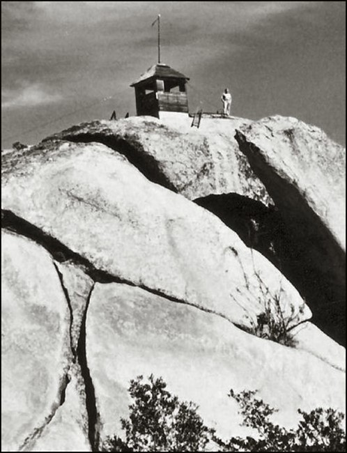
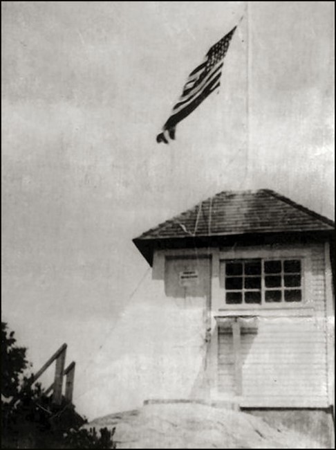
This wood 7'x7' ground mounted cab with a hip roof was known to have still been standing in 1950. The final ascent to the lookout was accomplished via a 29 foot ladder mounted to the side of the huge granite summit cap. The structure was funded, designed and constructed in the spring of 1912 by District Ranger, Ed D. Bish. A similar structure was completed on Hot Springs Mountain at the same time. These two lookouts were the first in the newly established Cleveland National Forest fire detection system. The lookout was noted as "abandoned" in a 1938 National Geodetic Survey data sheet. The 7x7 concrete foundation exists to this day.
Map
Change Basemap
Photos
1938
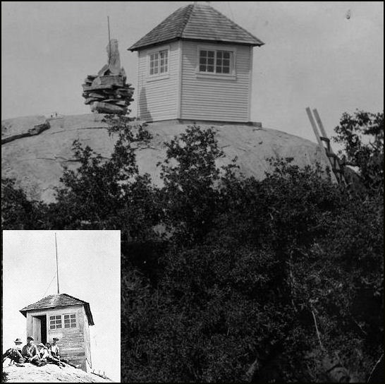
1913 (inset 1920)
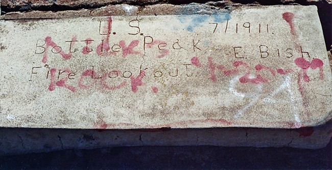
Concrete Steps Dated July 1911
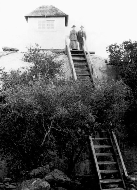
Photo courtesy of Ryan Photo Collection - Escondido Public Library