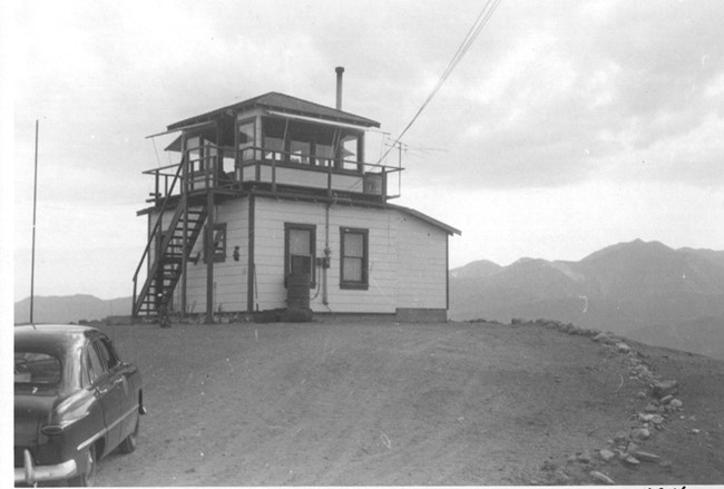
Cajon Summit Lookout
Lookout Details
| Registry Numbers | US 1710, CA 17 (view other lookout sites in United States, California) |
| Date Registered | April 3, 2018 |
| Nominated by | Brad Eells |
| Location | San Bernardino County, California |
| Coordinates |
N 34° 20.828' W 117° 27.061' (view using Google Maps) N 34° 20' 50" W 117° 27' 04" N 34.347131° W 117.451014° |
| Elevation | 4,400 ft (1,341 m) |
| Built | 1932 |
| Removed | 1980s |
| Administered by | California Department of Forestry and Fire Protection |
Description
The lookout was sited at the top of the Cajon Pass where it could observe an area where trains frequently caused fires along with the northern sides of the San Bernardino and San Gabriel Mountains. The former National Trails Highway, also known as Route 66 passed through as well. Route 66 has been replace by Interstate 15.
The lookout was an unusual structure, with a small observation tower and catwalk mounted above a living quarters. The structure fell into disrepair and was removed, likely in the late 1980's.
Map
Photos
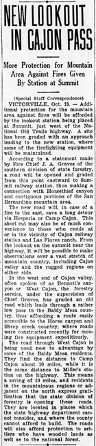
1931 Newspaper Article
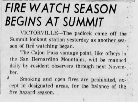
1962 Newspaper Article
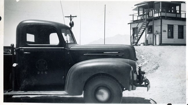
Photo courtesy of Cal Fire Museum - Chuck Ulrey Collection
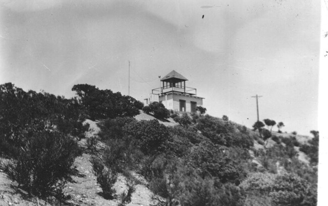
1931
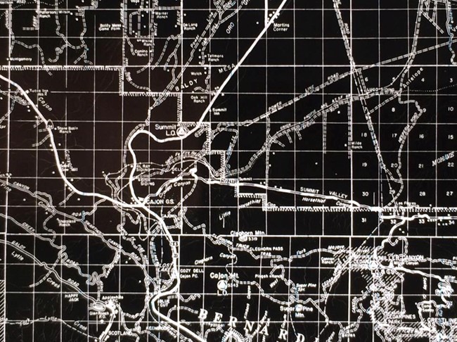
CDF Admin map with Cajon Summit and Cajon Mountain lookouts
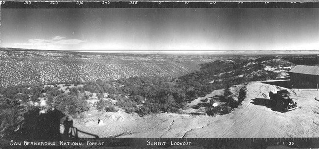
1935 Panoramic - North
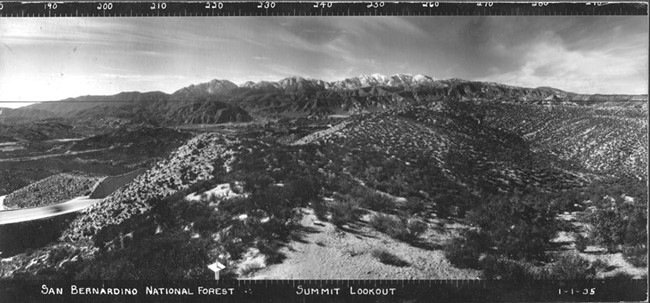
1935 Panoramic - Southwest
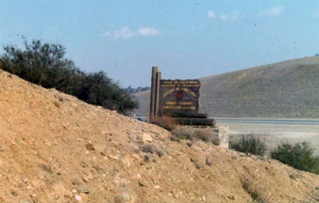
"Summit Lookout" sign board