Jones Knob Lookout Site
US 726, VA 6
Lookout Details
| Registry Numbers | US 726, VA 6 (view other lookout sites in United States, Virginia) |
| Date Registered | November 13, 2010 |
| Nominated by | Dan East |
| Location | Wythe County, Virginia |
| Coordinates |
N 36° 45.959' W 081° 04.363' (view using Google Maps) N 36° 45' 58" W 081° 04' 22" N 36.765990° W 081.072720° |
| Elevation | 3,818 ft (1,164 m) |
| Administered by | U.S. Forest Service |
Description
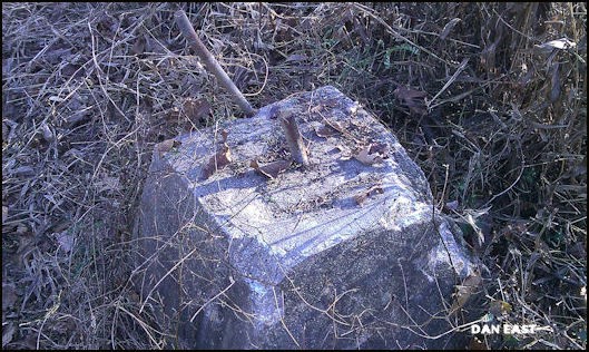
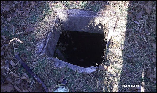
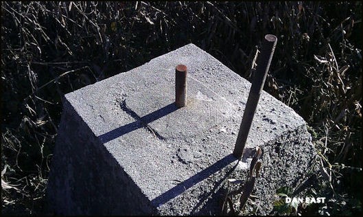
This 81' treated timber tower was constructed in 1939 and was taken down in 1973. The 18'3" concrete footers and a small cistern still remain. The cistern sits in the exact center of the 4 footers. This tower served the southern portion of Wythe County, and was used to watch for forest fires around the Cripple Creek area of the county.
Map
Change Basemap
Photos